


From Wet to Dry, Wisconsin's Weather Whiplash
Thursday, June 15th, 2023 -- 8:17 AM
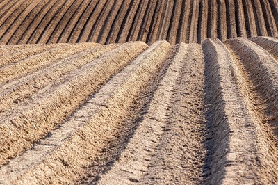
(Wisconsin Ag Connection) A little over two months ago, Wisconsin farmers were struggling to make headway in getting their crops planted.
According to the Wisconsin Ag Connection, after months of wetter than normal conditions that stretched back to November 2022, including the wettest winter on record, a quarter of the state is now experiencing moderate drought conditions.
Steve Vavrus, a climatologist with UW-Madison, is calling the situation in the Badger state 'weather whiplash' when it comes to precipitation departures. "We had month after month after month of wetter than normal conditions starting in November and consistent through April.
That has really helped us in terms of subsurface moisture, even though we flipped it about face to having the fourth driest May on record," Vavrus said. "You would have to go back to the big drought year of 1988 to find a drier May, and before that, all the way back to the thick of the Dust Bowl in 1934.
So what we've experienced is actually historic." Vavrus was one of several presenters featured during a special Badger Crop Connect Program on June 9 to address the the "flash drought" that Wisconsin is currently experiencing.
A flash drought is simply the rapid onset or intensification of drought, set in motion by lower-than-normal rates of precipitation, accompanied by abnormally high temperatures, winds, and radiation.
Vavrus says the rapid drying out of the state's upper soils and vegetation is not only due to lack of rainfall, but also to the arid air masses that have swept across Wisconsin. He says the culprit for the extremely dry conditions is attributed to an unusual atmospheric circulation pattern anchored over Canada.
A large dome of high pressure over central Canada with clockwise circulating winds is pushing down dry Canadian air in a northeasterly flow, preventing the usual moisture from the Gulf from reaching the state.
"This weather pattern has cut off a lot of our rainfall, and it's also contributed to very dry air and low humidity over our region," he said. A band of storms that swept across the state over the weekend brought some relief to parched fields.
While the upcoming forecast shows warmer than normal conditions over the central part of the country, Vavrus says there is rain in the forecast.
Feel free to contact us with questions and/or comments.